Posts

Showing posts from July, 2022

IGARSS 2022 @Malaysia

Image
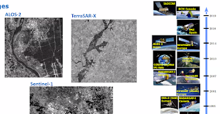
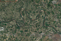
This week Kuala Lumpur hosts the International Geoscience and Remote Sensing Symposium , where state of the art Earth-Observation (satellite imagery) data integration for Hydromet services and natural Hazards resilience, are discussed. Special attention to  Floods and Landslides for rapid-response systems, by online sessions: WE6.V20 : Remote Sensing for the Sustainable Development Goals: Methods and Applications. TH5.V18 : Advanced Flood Monitoring and Prediction for Disaster Risk Reduction and Resilient Infrastructure.

Summer quiz: Po and Ebro

Image
Several similarities: basin surface, drainage collector topology, deltas sinking into Mediterranean sea, beloved by Roma Antica civilization, essential axis for northern regions across Italy and Spain respectively, etc. The Po is suffering its worst drought in 70 years, but what about the Ebro, that´s the summer quiz, compare both basins ... Support documents: EU-JRC Global Drought Observatory report for Northern Italy.   Meanders nearby Piacenza, and nearby Caesar Augusta (Zaragoza)