Sentinel-3 altimetry
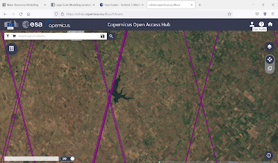
A new set of Land-Hydrology altimeter data from Sentinel-3 is available in pilot phase SR_2_LAN_HY , with a 27 days revisit time, and the orbit footprint as displayed in Copernicus OAH , in order to track water surface elevation at reservoirs, the case of Paso de las Piedras in Buenos Aires province, with orbits pictured.