13th January, 2022, for MIRH-Unizar . This year special attention to discuss SAR and Visible satellite imagery, including local drone footage. The link to Support Videos .
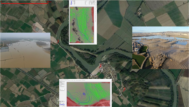
During the flood peak and afterwards is essential to track water levels, boundaries and flow speeds, all assisted by drone. This data is needed to interpret and validate Satellite Imagery, mainly the non-visible SAR from Sentinel-1. Look here 3 survey points we observed during the last flood at Mid-Ebro.
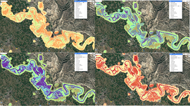
Our AI flood mapping algorithm starts to detect the first non-permanent wetlands of the season, so frequent at this time. For a larger scale state of the art monitoring and forecasting have a look to the Google-AI framework at India and Bangladesh, we will comment pros and cons in following posts.