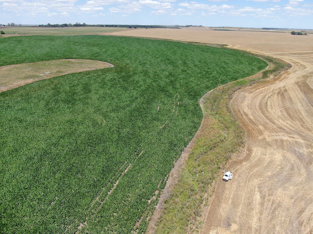
Guada´s team in action nearby Cerro del Águila , even in a dry summer. For a deeper detail or high quality pictures check IHLLA sites and publications.
At southern hemisphere, with a good GPS cover of 18 satellites. The UNICEN university campus at Azul is found at the rear, and at the front many summer pools !
January the 6th, 2023, we´ve sent the first high-demanding simulation to Google-Cloud-Compute-Engine successfully from IHLLA , meaning that we´ve got already a feasible and low cost platform to develop 2D flood simulations to compare against satellite imagery. The monitoring screen-shot is shown below.