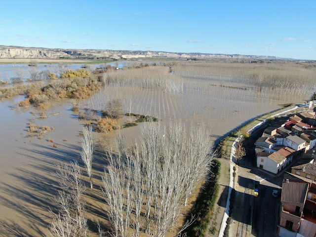
Cost-effective remote sensing-EO data processing for floods
A first approach with local High Resolution UAV datasets, open-access Satellite Imagery and Free Software processing tools was made for UTN-Concordia, Argentina, last May and April, during six online sessions. Many comments and feedback have led to a redistribution of the modules, as explained in the new leaflet for future editions.
The basic Educational Module covers the tools: Open-Drone-Map WebODM, RIVeR-LSPIV, HEC-RAS, Google-Earth-Engine and QGIS. Imagery data come from local drone surveys and Copernicus Sentinel-1, 2 satellite missions.


Comments
Post a Comment