Sentinel-3 altimetry
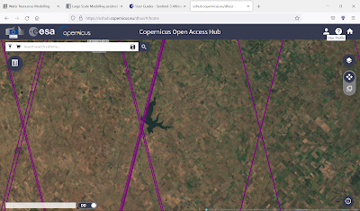
A new set of Land-Hydrology altimeter data from Sentinel-3 is available in pilot phase SR_2_LAN_HY, with a 27 days revisit time, and the orbit footprint as displayed in Copernicus OAH, in order to track water surface elevation at reservoirs, the case of Paso de las Piedras in Buenos Aires province, with orbits pictured.


Comments
Post a Comment