Posts

Flood Mapping season brochure

Image
Either for E-Learning or project assessment, have a look to this attractive brochure and please contact.

And third summer view

Image
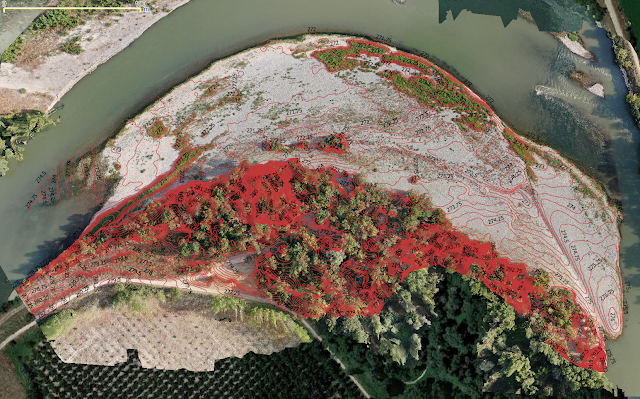
To finish this summer compilation, a few numbers to highlight how feasible is to track the evolution of a meander: for a pilot case 10 Hectares surface, 15 mins drone footage in manual mode can take 200 snapshots, and after 2 hours SfM crunching by a desktop, a 3D surface model with centimetrical pixel resolution (GSD < 5 cms) allows to track standard fluvial shapes: bars, channels and other deposits that identify meander migrations. More details discussed in the next season E-Learning module.  

Summer views II

Image
To start monitoring Algae Blooms for a few hectares you just need HQ drone imagery and simple free software, to be explained in forthcoming E-Learning module,  insights about limits and  comparison with open-access satellite bands are also discussed.

Summer views I

Image
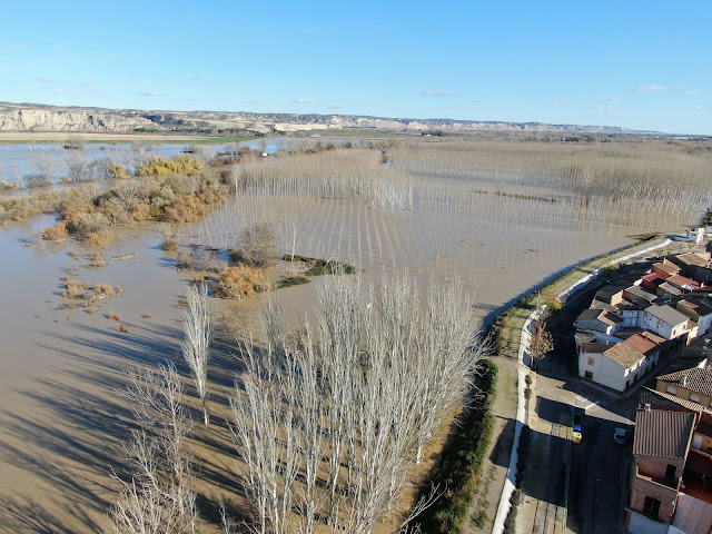
A dry summer, semi-arid area, most of the river bed is free and mappable by a drone, but the bank vegetation is still very dense and a filtering algorithm is needed to estimate the bare ground. We pose the question when is most convenient to map the river bed and the banks ?  Seeds for E-Learning module.

Cost-effective remote sensing-EO data processing for floods

Image
  A first approach with local High Resolution UAV datasets, open-access Satellite Imagery and Free Software processing tools was made for UTN-Concordia, Argentina, last May and April, during six online sessions. Many comments and feedback have led to a redistribution of the modules, as explained in the new leaflet for future editions. The basic Educational Module covers the tools: Open-Drone-Map WebODM, RIVeR-LSPIV, HEC-RAS, Google-Earth-Engine and QGIS . Imagery data come from local drone surveys and Copernicus Sentinel -1, 2 satellite missions.  

Drone Saturdays

Image
First edition online drone imagery processing with free software, course already launched last Saturday 10th April, hosted by UTN Concordia, Entre RĂ­os, Argentina, a region with large water resources to be monitored in detail with remote sensing tools. How can drones assist with 3D image reconstruction and mapping, to be discussed along 4 hours practices during six saturdays.  

Digital rivers

Image
Introducing  the use of satellites, drones and new generation software solutions for wider and easy access monitoring in hydrology,   for the online Master IRH@unizar , January 13th, 2021.